NWMSGuy
Member
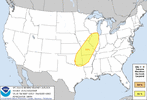
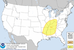
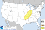
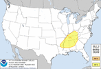
Since the SPC has outlined a Day 6 & Day 7 outlook area, I think it's best we go ahead and start a thread for this potential multi day event. As of this morning, here is the latest from the SPC:
Day 4-8 Convective Outlook
NWS Storm Prediction Center Norman OK
0333 AM CST Thu Feb 22 2024
Valid 251200Z - 011200Z
...DISCUSSION...
Medium-range models continue to show a powerful mid- to upper-level
trough ejecting into the central U.S. by late Tuesday into
Wednesday. A deep cyclone is currently progged by most ensemble
members to move from the central Great Plains into the Great Lakes
vicinity. Preceding this upper trough, an antecedent re-charging of
steep lapse rates associated with an elevated mixed layer over the
southern High Plains is forecast. A few days of airmass
modification, both in terms of ambient temperature and moistening
over the Gulf Basin, will occur in wake of frontal passage on
Saturday. Northward moisture return beneath the aforementioned EML
will probably result in a substantial warm sector by late afternoon
Tuesday and into Wednesday farther east. Model run-to-run
continuity is such that there is increased confidence in the
introduction of 15-percent severe-risk highlights with the expected
eastward progression of the trough. Will defer the possibility of
an additional area farther east on Thursday until confidence in
details related to earlier days becomes more focused.
