Bama Ravens
Member
Since this is already looking to be a robust threat, even 5-6 days out, I figured that it was time for a thread dedicated to the threat.
Day 6 Convective Outlook:
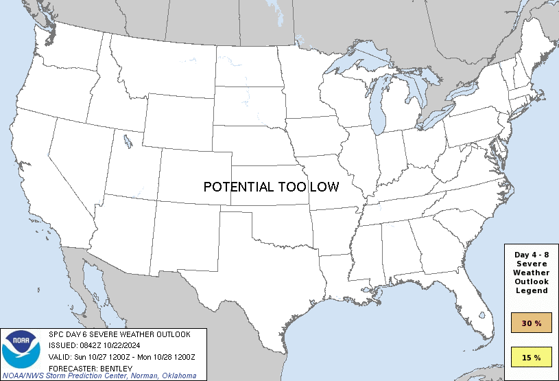
Graphic from BMX:
From the BMX forecast discussion:
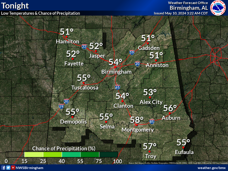
Day 6 Convective Outlook:
Graphic from BMX:
From the BMX forecast discussion:
Threat 2 could potentially be a high impact event, but there still
remains some model trend issues and timing. Models are trending a
bit farther north, which puts us in the warm sector again. This
system is quite a bit stronger, with a deepening surface low into
the 990mb range. Once again, shear/instability/cold air
aloft/lapse rates all point to a severe potential.


